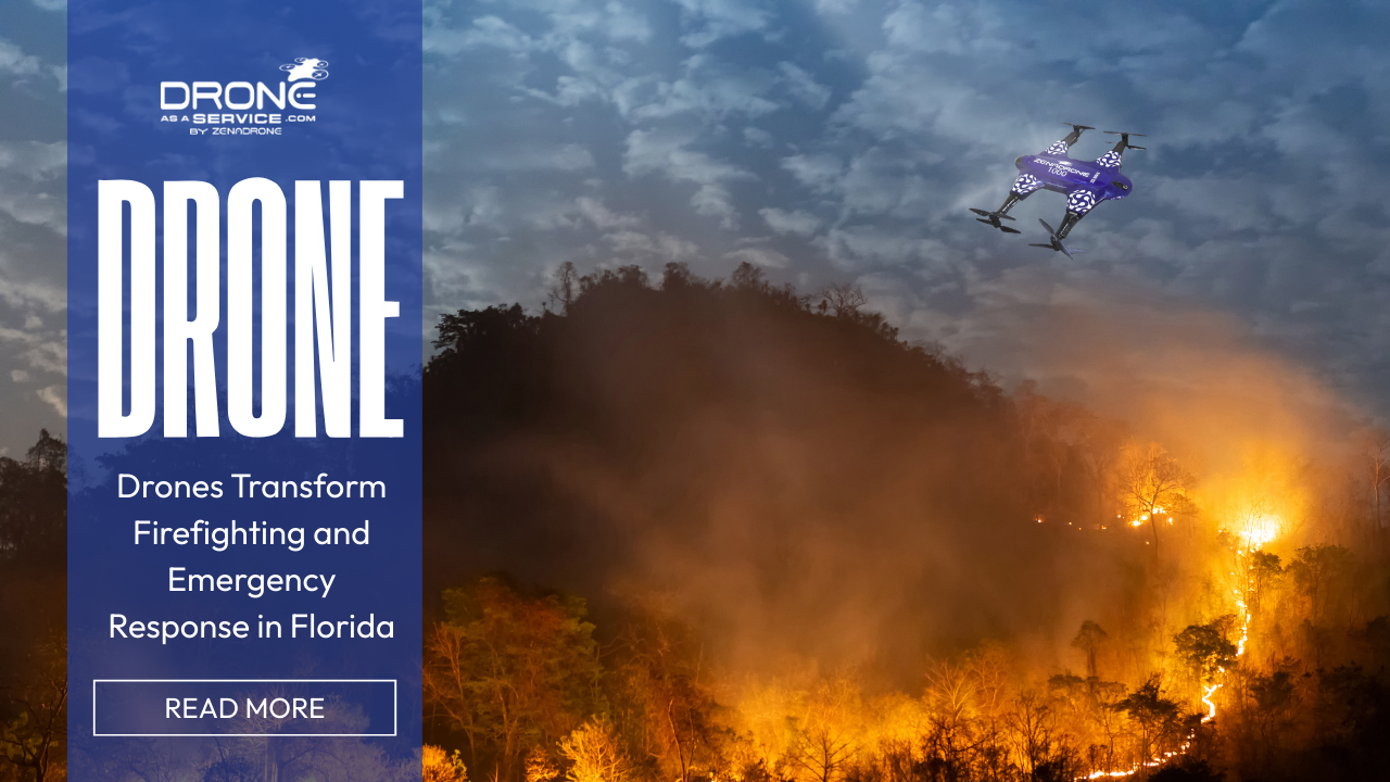
Drones Transform Firefighting and Emergency Response in Florida
Florida is a disaster-prone state, among the top few in the US. Every year, the state coordinates its preparations for fires, hurricanes, and floods which are expected to become more severe and frequent in the future. These disasters not only cause loss of lives but also damage essential infrastructure.
Conventional disaster response has been supported mainly by aircrafts, ground patrols and satellite images. However, the use of helicopters and planes may be expensive and they can take quite a while before they are deployed. Additionally, they become less efficient in will conditions.
As devastating natural disasters keep coming, the agencies in Florida are experimenting with drone technology to enhance their response capabilities.
Emergency response drones are a safer and more versatile tool for gathering critical data quickly. These devices are equipped with high-resolution cameras, thermal imaging, and real-time data streaming capabilities.
These main features remotely provide instant situational awareness thereby saving the lives of responders who would otherwise be exposed to dangerous areas.
Drones have mapping capabilities besides resourcing emergency operations which is beneficial in land use planning, infrastructure development, and environmental monitoring, hence they may be considered a worthwhile investment.
Drones for Fire Prevention and Safety
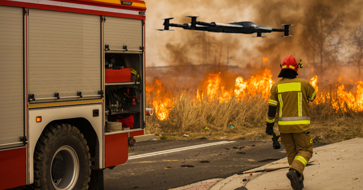
Among the best examples of drones is fire surveillance which is possible in real time. Large-scale fires in buildings as well as wildfires constantly evolve in different areas depending on winds, fuels, and terrains.
First responders can find it difficult to locate the entire area where fire surrounds by using traditional methods. Fire surveillance drones provide aerial reconnaissance of the perimeter of the wildfire constantly.
Drones equipped with infrared thermal imaging technology can identify fire hotspots or even fires that have been covered by smoke, tree canopies, or debris. Houses are often dangerous, but fires that have been contained can still be re-ignited by such fires.
This timely discovery enables firefighters to focus on the flames and prevent the damage as much as possible.
Drones also help first responders to keep track of the direction of fire spread and predict where the flames will move next. They improve decision-making, allowing emergency agencies to share the available resources more efficiently and plan the evacuation in a safe manner.
Moreover, firefighters’ safety is greatly improved when drones are used for operations. Drones’ ability to scan and detect the kind of risks present even before sending in personnel saves first responders’ lives as well as those of civilians and at the same time, it reduces emergency response operation’s uncertainties.
Huge Leap in Search and Rescue Operations
Saving lives depends heavily on how fast one can react to a disaster situation. Search and rescue drones have revolutionized the way rescuers conduct their work, especially in remote areas that are quite difficult to reach.
On one hand, drones are equipped with a high-definition camera and a thermal sensor, thus, they can determine the location of a missing person without failure even when visibility is poor. Thermal imaging technology helps rescuers spot a person as it shows heat emitted from the body through smoke, darkness, or floodwater, and this has significantly improved the rate of successful rescue operations.
Nowadays, drones are also widely used to deliver emergency supplies in situations where traditional access routes are closed. Rescuers can be provided with food, communication equipment, and medicines directly through aerial deliveries while the ground teams are at the scene.
Moreover, in some disaster-hit areas where communication towers have been destroyed, drones can be used as a means to boost the signal. First responders and victims can thus coordinate activities and locate each other by using the communication equipment available to them, respectively.
Here are the major advantages of a drone-assisted search and rescue mission:
Speed - Drones can take off way faster than manned aircrafts.
Safety - First responders are protected and risks lowered by using drones.
Range - Disaster response teams are able to cover larger areas with the help of drones.
Signal Coverage - In the occurrence of an emergency, there is an option of signal range expansion using drones.
The above factors make drones an indispensable tool when it comes to an emergency situation in Florida because it is the state that witnesses the highest number of natural disasters of sudden and massive proportions.
Mapping & Land Insights: Dual Applications
Drones can slow down the evacuation process and enable rescue personnel to find their way hence, they can also perform damage assessments more accurately. Shortly after a disaster, they can produce high-resolution images that reveal the type and extent of the damage sustained by buildings.
Drone maps made from aerial photographs provide invaluable information for recovery and reconstruction processes. It is a major way through which agencies are empowered to embrace resilience and minimize hazards to the environment.
Nevertheless, this is far from the only application to which drone-mapping data can be put. Aside from offering an instant response, they also generate high value through drone land surveying which ensures that the drone land mapping is accurate and thus, the development can be sustainable.
Threshold of environmental and ecological hazard changes.
It is a well-known fact that rapid urban growth and of course, Florida’s coastline, have a lot to do with the problems that local government units (LGUs) have to deal with from time to time. Drones can be a great help in this regard as they can be utilized for environmental and ecological hazard monitoring at a higher level.
Below are some specific instances of the uses of drones:
Flood Evolution - Land mapping shows extensive data and gives insight into how floods occur and how they can be handled.
Coastal Monitoring and Development - Drones can be a great help for city planners, engineers, and architects when it comes to monitoring Florida’s coastal areas.
Monitoring Air Quality - Air quality is often neglected right after a wildfire. Disaster responders use drones to check the air quality and to decide whether the public can be allowed to go about their usual activities in the area.
Smoke Dispersal - Drones assist in monitoring how smoke disperses after wildfires. Using live monitoring, it is easier to estimate the areas that will be most affected.
With all the aerial information that can be obtained through land mapping, it even helps in sustainable development if away from disaster response.
By planning a new city with land mapping, key infrastructure for flood control and management is taken into consideration. For example, building and maintaining dikes, seawalls, and flood drains, will be easier.
Other uses can be extended to overall city planning. Drones’ land mapping ensures that ongoing or future commercial or residential developments meet local regulations.
Whether it is a rescue mission, construction, or development project, drones provide long-term value.
How Drones Enhance Safety and Efficiency
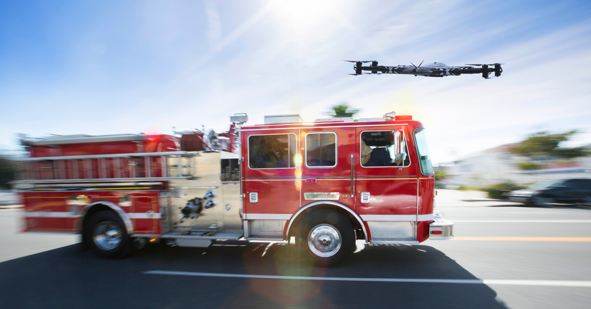
Drones play a crucial role in emergency operations whose benefits are not limited to only those operations. Within a short period, drones can be deployed to provide real-time intelligence, which can even be done before traditional assets have been deployed.
There is yet another great advantage; lessor risk for individuals. Drones reduce the need for sending first responders into unsafe buildings or fire-infested/flooded areas. This, in turn, reduces the risk of the response team.
Compared to helicopters or satellite systems, drones are much cheaper over the long term for monitoring.
Using providers like Drone as a Service, response to emergencies can be made simply and rapidly at any required scale. Agencies can get hold of state-of-the-art drone technology and pilots without actually having to own them through the Drone as a Service (DaaS).
Challenges of Drone-use in Emergencies and How to Overcome Them
Nevertheless, deployment and adoption of the drone at a larger scale are not a very smooth ride. For one thing, the FAA rules limit the use of airspace and require pilot certification especially when it is an emergency situation.
Despite the existence of waivers, public and private agencies still have to abide by these regulations. Thus, they can set limits on the operation of drones which can, in turn, have effects on disaster response and rebuilding efforts.
Moreover, weather conditions like high-speed winds, torrential downpours, and thick smoke may also restrict the scope of operation. LGUs should, therefore, focus on upgrading their training and preparedness in order to effectively interpret drone data and use it within their command systems.
Drone service models can be referred to as important tools in helping you overcome the majority of the challenges. Besides having the right technology, they are also knowledgeable about local laws and take care of compliance.
The Prospects for Drone- Assisted Emergency Solutions
In the near future, predictive modeling, AI-based analytics and IoT integration will all be part of drone-assisted emergency response. As a result, agencies will not just respond to disasters, but they will actually be able to predict them.
Currently, Florida has the highest rate of drone adoption; however, with the evolution of drone capabilities and the establishment of regulations, drone technology is expected to grow all over the country.
Technology-Driven Emergency Responses
When it comes to disaster response, drones have been a game changer in Florida. They not only drastically increase the survival chances through their speed and flexibility, but also help with smarter planning and recovery through fire monitoring to search and rescue.
Furthermore, they serve as valuable instruments for post-disaster recovery given that they have the land mapping feature with a high level of accuracy.
Florida is thereby taking the lead in the US, in the use of drones in the public safety sector through embracing this technology. Besides the widespread adoption of drone innovation, it is also the key to building safer and stronger communities at the local level.
Guest Post Provided By: David Ryan
Shoreline Public Adjusters, LLC
780 Fifth Avenue South
Suite #200
Naples, FL 34102
Email: hello@teamshoreline.com
Phone: 954-546-1899
Fax: 239-778-9889